Turtle Creek Mitigation Bank
North Carolina
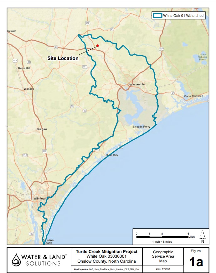
Watershed
HUC 03030001/White Oak 01
Pre-Construction
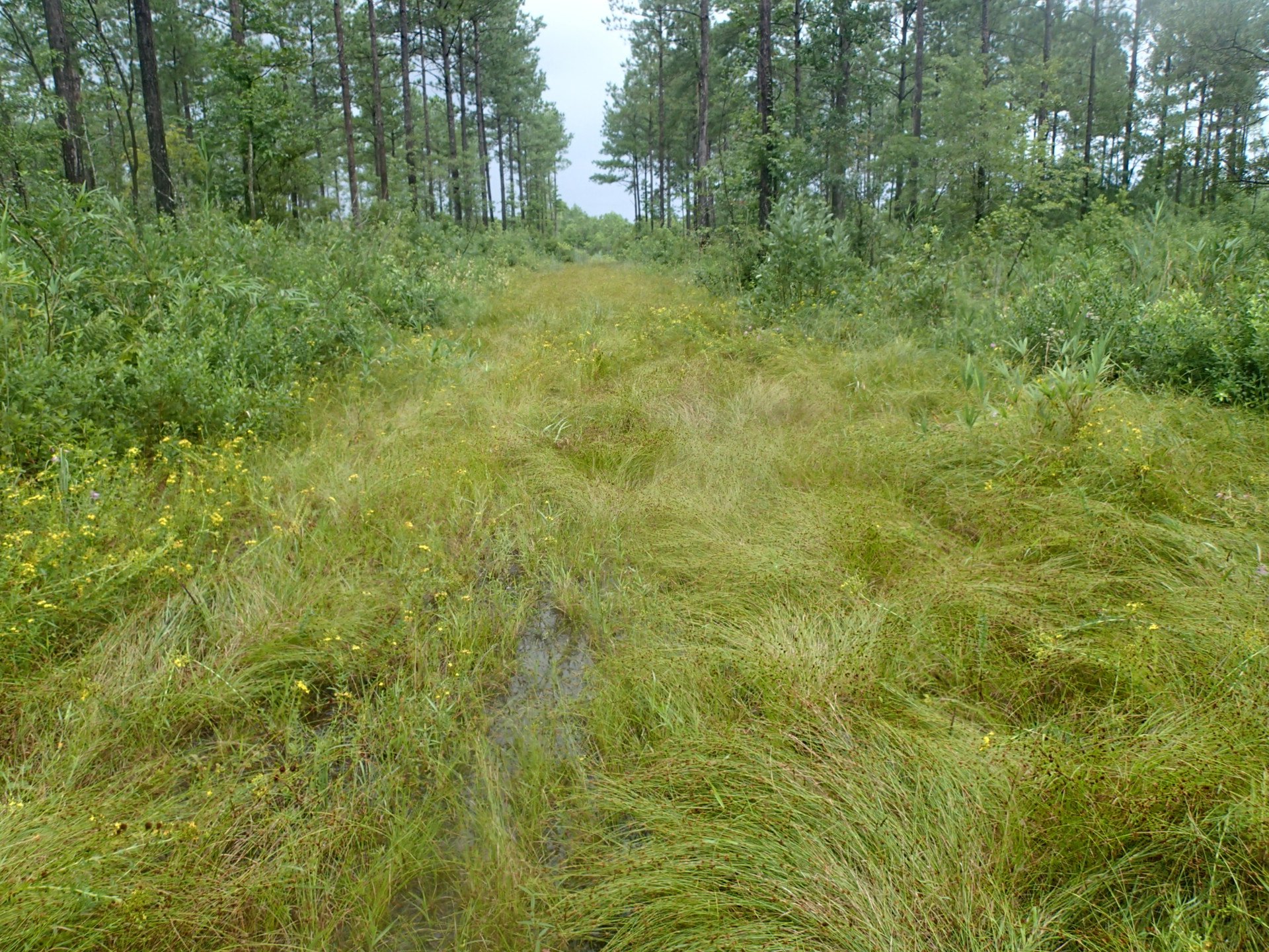
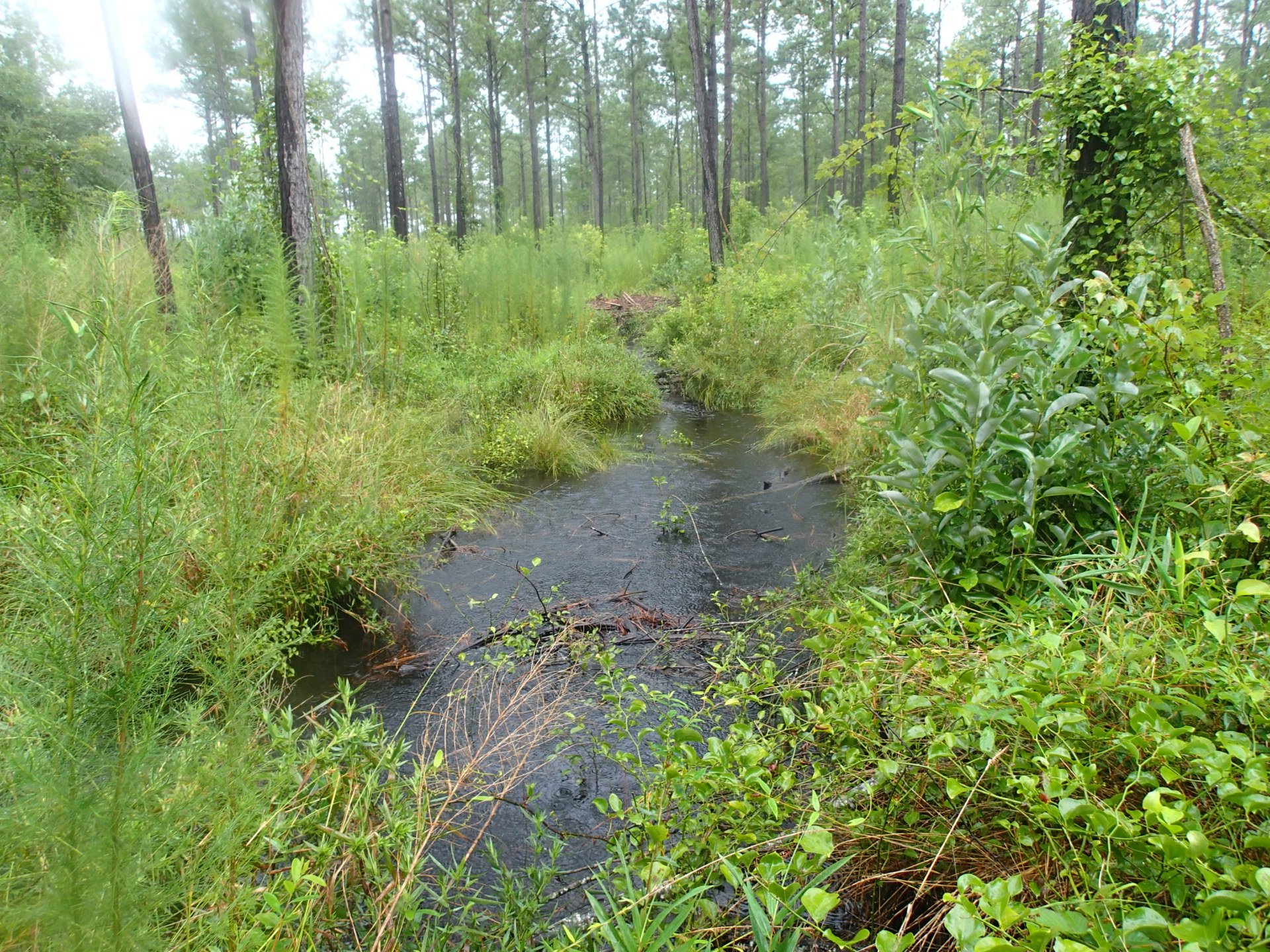
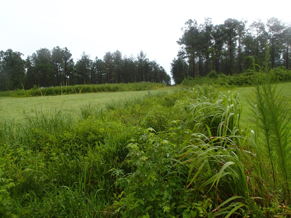
Turtle Creek Mitigation Bank is a wetland and stream mitigation project located on 44.195 acres in Onslow County within the White Oak Watershed (HUC 03030001). Turtle Creek Mitigation Bank was approved by the USACE Wilmington District in September 2022 and currently has stream and wetland credits available to offset unavoidable impacts to Waters of the United States authorized under Sections 401 and 404 of the Clean Water Act, Section 10 of the Rivers and Harbors Act.
The bank is approved for a potential of 4,689 warm water stream credits and 8.21 riparian wetland credits through the restoration of streams, riparian buffer, and riparian wetlands. The restoration will result in a higher functioning aquatic ecosystem; reduction of nutrient and sediment inputs; and improved hydrologic functions by raising the local water table within the upper Mill Swamp subwatershed within the White Oak River Basin.
During Construction
Primary Service Area:
White Oak Watershed HUC 03030001
State:
NC
Available Credit Type(s):
Stream and Wetland
Project Goals
- The project mitigation goals and objectives will be based on the current resource condition and functional capacity of the project watershed to improve and protect diverse aquatic resources comparable to stable stream and wetland systems within the inner Coastal Plain Physiographic Province. The project will address watershed stressors and provide numerous water quality and ecological benefits within the upper Mill Swamp subwatershed. The project will meet the general restoration goals and opportunities outlined in the White Oak River Basin Restoration Priority Plan (RBRP, 2009). More specifically, functional uplift goals will be accomplished by:• Implementing stream restoration that reduce sources of sediment by stabilizing streambanks especially in headwater tributaries;
• Promote nutrient and sediment reduction in agricultural areas by restoring and preserving wetlands, streams, and riparian buffers;
• Implement agricultural BMPs to reduce nonpoint source and pollutant inputs; and
• Protect, augment, and connect to Natural Heritage Areas and other conservation lands.